Features
Everything you need to monitor your crops
Advanced satellite analytics combined with AI-powered recommendations
Sentinel-2 Satellite Imagery
Access real-time vegetation indices from European Space Agency's Sentinel-2 satellites. Get NDVI, NDRE, EVI, and NDMI measurements for precise crop health assessment.
AI-Powered Advisory
Get farmer-friendly recommendations powered by GPT. No jargon, just actionable advice.
Soil Moisture Tracking
NASA SMAP satellite data for 7-day soil moisture trends. Surface and root-zone monitoring.
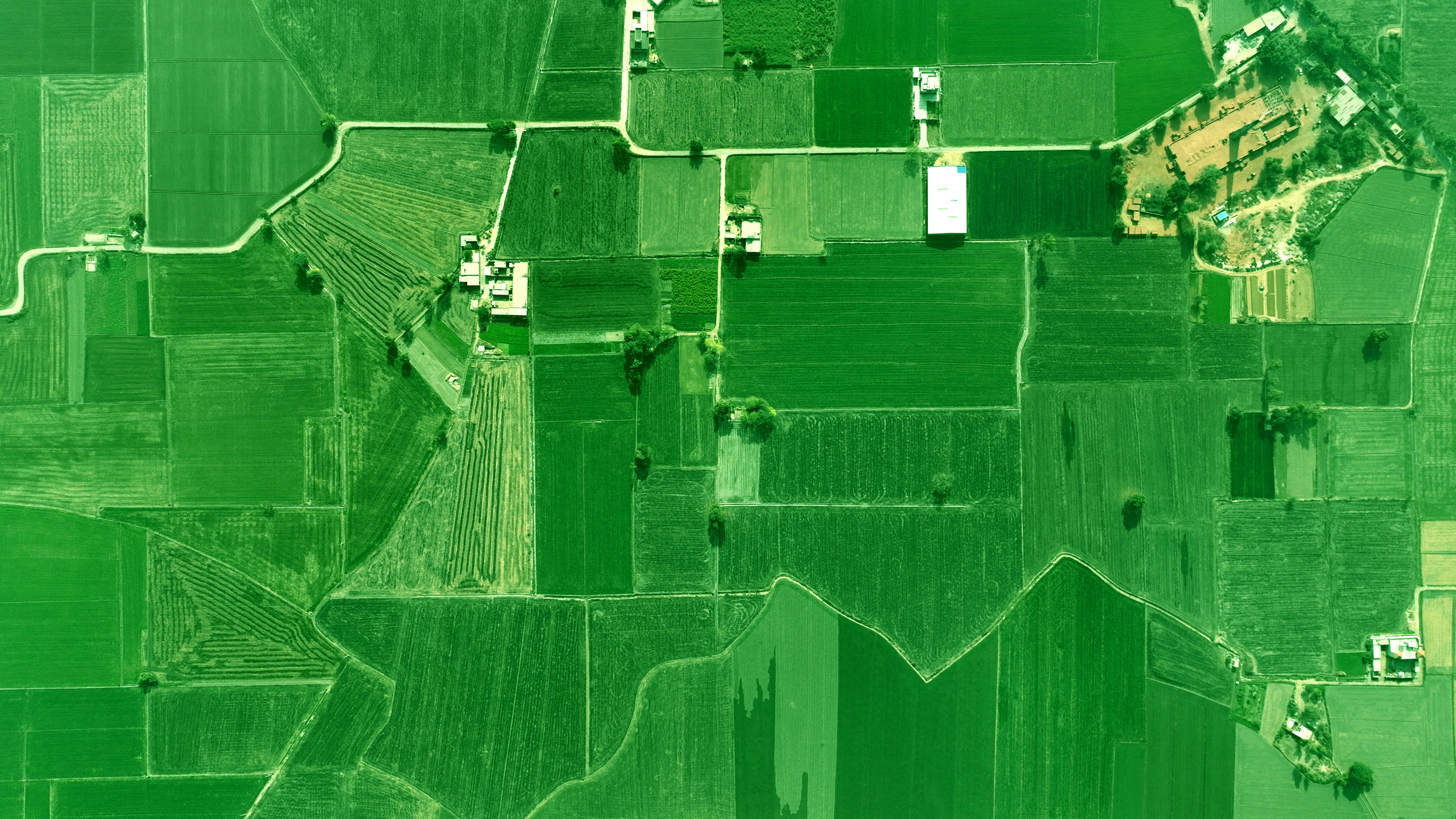
Draw Your Fields
Simple polygon drawing on an interactive map. Define exactly which areas to analyze.
Instant Analysis
Get results in seconds. Health status, risk level, and actionable recommendations instantly.
How It Works
Three simple steps to healthier crops
Draw Your Field
Use our interactive map to outline your field boundaries with simple polygon drawing.
Enter Crop Details
Tell us about your crop type, growth stage, and any specific concerns you have.
Get AI Insights
Receive instant analysis with vegetation indices, health status, and actionable recommendations.